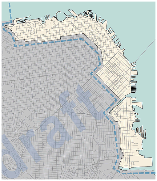
Recognizing that “that comprehensive transportation planning should precede and inform the shaping of individual [development] projects,” such as the Transbay Transit District developments which are underway, and the proposed developments upon Pier 30-32 for the Warriors, upon Seawall Lot 337 for the Giants’ Mission Rock project, and the major redevelopment of Pier 70, the early designs for which have all been drawn, the San Francisco Municipal Transportation Agency is now developing a Waterfront Transportation Assessment “to identify transportation challenges and guide solutions that will accommodate anticipated growth along the San Francisco waterfront area roughly between the Presidio and Pier 80.”
The first phase of the Assessment, the establishment of Transportation Strategies and Goals, includes “an inventory of development projects proposed in the area, along with local and regional transportation investments and programs.” It’s a great start. But it’s also a little frightening to realize that it doesn’t already exist and hasn’t been informing development plans, Planning Commission decisions, and endorsements to date.
Phase one is slated to be tackled this Summer with a report by the end of September. Phase two, the Solutions phase, will follow, intended to “help shape each project’s transportation features and programs, identify meaningful, feasible mitigation measures, and establish certainty and clarity in the development and cost-sharing agreements between the City, the transportation agencies and the project sponsors.”
Right. The city can’t even get Caltrain extended to the hyped up $2B bus terminal in the next 10 years and it’s now thinking about transportation along the waterfront. Good luck.
Note to SFMTA: while your at your late selves maybe consider that there is new development all over the City, not just the waterfront
A great idea would be some sort of elevated freeway along the waterfront.
“A great idea would be some sort of elevated freeway along the waterfront”…
Precisely. Don’t forget an off-ramp through 8 Washington.
Back to transit…the big problem here is that SF won’t be considering transit options in this area that integrate with other Bay Area transit systems, including rail, bus and boat. Six years after the T-line opened to Bayshore and there still isn’t a MUNI Bayshore station connecting to Caltrain as promised when the line was built.
@sfjohn: Agreed, but future development aside, transit today crawls at best on many bus and rail lines.
Crawls because we must go underground
@Sam: you got that right. In a few minutes I’ll be riding the outbound L which stops every two blocks once it exits West Portal. Stop. Let off a handful of passengers. Slowly start and rev up to 5 MPH before stopping again. Repeat for 35 blocks.
What gets me is that even without major development many areas of the city need transit overhauls. The Geary corridor is essentially one long strip mall of low-rise buildings, yet the transit demand in this area is crazy. Imagine if sections of Geary were built up even just a few stories. How would the addition of residential and commercial space impact the already stressed transit system?
Here’s a companion PDF (below); an executive summary (2 pages). A couple of things to note, check out the graphic in the upper right hand corner of page 1. At least for this version, the SFMTA knew/knows about new construction plans (the blue circles) that will effect all transportation modes in the near future.
I was at a meeting touching on this subject just this week. A few points mentioned above and more not mentioned are being assessed. “Assessed” is the operative word. We should have already been in the planning/building phase(s) by now…
http://oewd.org/media/docs/WaterfrontTransportationStudy/Fact%20Sheet%20-%20Waterfront%20Transportation%20Assessment.pdf
Does anyone in this site ever actually go down there and look at what SFMTA has done to date? So here’s the skinny: as recently as 2006-7 one could roll up third street and swing around to the embarcadero and up to the Warf smooth as a meter maid wields her chalk stick. Effortlessly.
Which of course upset the SFMTA just as they were pitching charging people a fortune to drive downtown at all — so they got about repeating the success they had previously enjoyed ruining traffic flow further up Market.
Retiming lights, narrowing traffic lanes into intentional choke points, removing 40% of all traffic lanes for infrequent busses and cyclists, etc. Then the long cherished role of “traffic cop” during rush hour was eliminated (no doubt he was just accidentally painted over with red) leaving everyone to block the box.
A 10 year old child could spend a day down there and figure it out. because children are pure of intent. SFMTA on the other hand, always has a hidden agenda, generally to ruin motoring for everyone, especially those who actually work for a living.
Expect trouble. I see it just over the horizon, brewing like a hemp party high atop SFMTA HQ.
I have a hard time believing that more development along Geary will cause some sort of transit catastrophe.
You can always add more buses if the demand is there. I don’t even think it’s a money issue. Any bus which is running at 100% capacity is going to be relatively good for the budget– it’s the late-night or low-density neighborhood services, which run with only a few passengers, which have heavy losses (though they may be important for other reasons).
Undergrounding might be effective, sure, at great expense– but there are simpler methods. Like eliminating half or more stops (this would happen if it were undergrounded anyway).
There are lots of things that seem like they could be improved with better management, and there’s no sense in discussing the extremely expensive solutions until we max out the possibilities of using surface roads and existing tunnels efficiently.
Get the BRT done already.
Too many studies, too much grandstanding, not enough true planning or action
Seems to me with relatively small investments you could have modern low floor LRV running from Mission Bay to Fort Mason and to the Castro
I’d also like to see the J turned into a surface line
PCCs are cute and all but ket’s get serious and use the ROWs that already exist.
Are there any other developers-masquerading-as-athletes who need handouts? Maybe NASCAR would be interested in some Bay Front real estate.
It seems like the only economic way any improvements play out is through a huge new ‘transportation impact fee’ for new development.
Much easier to sell to the public than higher muni fares. Such fees will only exacerbate the tendency for World Class luxury condos to be the only feasible product to bring to market. An exacerbation of the housing shortage except for the .1%, general dissatisfaction for everyone else. Manhattanization of policy. I hope there will be enough Chinese billionaire absentee owners left in 10 years to fund the Geary subway.
Makes ever more sense to buy/hold existing houses. The scarcity value keeps increasing in the 7×7…
Although undergrounding is the best option, I echo the sentiment about the existing 38. I always thought that the 38-L should become the regular 38 service, and the 38-L should have “subway-like” stop frequency. They can just consult the old proposed BART Geary subway map as a guide.